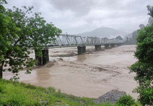
Kolkata: Last year’s flash-floods in Sikkim, besides causing heavy damage both there as well as in the hills and plains of north Bengal, seem to have also changed the trajectory of Teesta River to a great extent again.
“The change in the trajectory is evident from satellite pictures. This is the fifth time that Teesta River, which flows through the two states of Sikkim and West Bengal, as well as Bangladesh, has changed its trajectory,” said a senior official in the state irrigation department.
Apprehending that this frequent change in trajectory might impact the economic structure of the hills and plains of north Bengal to a great extent in the coming days, the irrigation department has decided to conduct a thorough “morphology survey” of the river.
It has also sent a proposal to the state finance department for financial sanctions to conduct the survey.
As per the satellite pictures, the trajectory of the river has changed at multiple places both in the hills and the plains. This change in trajectory happened because of the resistance that the flowing river water faced both due to the heavy stone blocks carried down from the hills during the flash-floods as well as the massive silt accumulated in areas after the flood water receded.
Because of the flash-floods in Sikkim last year, even the Sevoke-Sikkim Road, the most important road link connecting Siliguri in North Bengal with Gangtok in Sikkim, also became inoperative for quite some time. The road was reopened in October.
Following the flash-floods, a total of 22 bodies were recovered from different pockets of north Bengal.
In view of the flash-floods, the Gorkhaland Territorial Administration (GTA), the civic administrative body in the hills of Darjeeling, Kalimpong and Kurseong, also took an in-principle decision not to allow setting up of fresh hydropower projects in the hills.
–IANS


Comments are closed.