
Bhubaneswar: The Indian Meteorological Department has predicted heavy to very heavy rains in many of the southern, coastal and interiour districts of Odisha. The Department has also issued Orange warning to ten districts – Gajapati, Ganjam, Kalahandi, Kandhamal, Nawarangpur, Rayagada, Bolangir, Koraput, Boudh and Nayagarh till 8.30 am tomorrow. Likewise, Orange Warning has been issued for Nawarangpur, Kalahandi, Kandhamal, Nuapada, Bolangir, Sonepur, Boudh, and Bargarh till 8.30 am on 12th September.
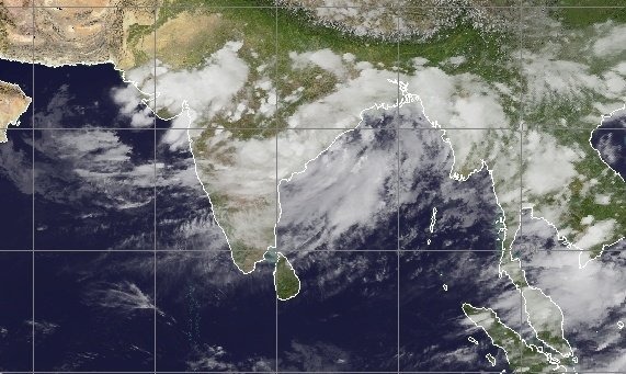
The well-marked Low Pressure Area over West-central and adjoining northwest Bay of Bengal off north Andhra Pradesh-south Odisha coasts. Yesterday’s Low Pressure Area over West-central and adjoining Northwest Bay of Bengal off north Andhra Pradesh south Odisha coasts now lies as a Well-Marked Low Pressure Area over the same region and the associated cyclonic circulation extends up to mid-tropospheric levels. It is likely to concentrate into a depression over Northwest and adjoining West-central Bay of Bengal off south Odisha – north Andhra Pradesh coasts during next 24 hours.
According to the Met Department, squally weather with surface wind speed reaching 45 to 55 kmph gusting to 65 kmph is very likely over sea along and off Odisha coast and North-West adjoining West-Central Bay of Bengal till 12th September 2022. Fishermen are advised not to venture into sea along and off Odisha coast and Northwest adjoining West Central Bay of Bengal till 12th September, 2022.
Comments are closed.