
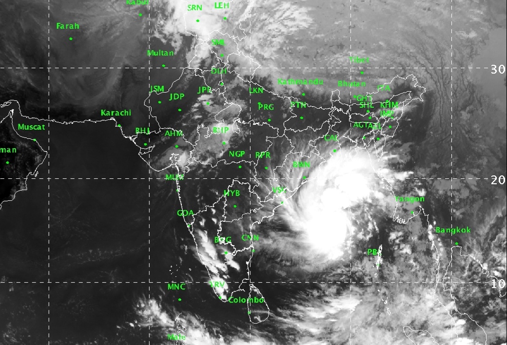
New Delhi: The ‘very severe’ cyclonic storm Bulbul finally made landfall over Indo-Bangladesh coast on Saturday night.
The cyclone storm had made landfall between Sagar Islands of West Bengal and Khepupara in Bangladesh and continues to track northeastwards into the neighbouring country over the Sunderban delta.
The storm was accompanied with torrential rains and high velocity winds to the tune of 110-120 kmph gusting up to 135 kmph, the Met department said.
Next 12 Hours Crucial for West Bengal
The next 6 to 8 hours continues to be crucial for West Bengal as Bulbul would take another six hours to weaken into Cyclonic Storm after crossing coast. Thus, next 12 hours will be crucial. Storm surge will be from 8 to 10 feet that would lead to inundation in the low lying areas, said Skymet Weather.
1,64,315 People Evacuated in West Bengal
West Bengal Chief Minister Mamata Banerjee has been personally monitoring the situation along with top officials from the control room at the secretariat Nabanna.
Around 1,64,315 persons have been evacuated from low-lying areas on the coast, the Chief Minister said.
Coastal Areas Worst Affected
Coast areas in West Bengal including Khejuri, Nandgram, Nayachar and Ramnagar in East Midnapore and Kakdweep and Bakkhali in South 24 Parganas districts were worst affected.
Trees got uprooted, roofs gave way and houses and shops suffered damage. Power supply was also disrupted in many areas, according to media reports.
Coastal areas are witnessing winds in excess of 100 kmph while Kolkata winds were in excess of 70-80 kmph.
Bulbul has already given extremely heavy rains in span of 12 hours, wherein Kolkata recorded 72 mm of rains, Digha 93 mm, and Diamond Harbour 75 mm.
Heavy rains would continue to lash several parts of West Bengal throughout.
Comments are closed.